Prior to mapping out our trip, we had hopes of visiting San Francisco and Yosemite, but – holy long distances Batman – both of those were much farther from our first California campsite than you’d think. Timewise, if we wanted to get home by the end of six weeks, we needed to head east by this point in the journey. We charted out different possibilities, prioritizing highly rated campsites near points of interest. They also needed to be en route to one of the major West-East interstates. That is how we hit on Nevada City, CA. In all honesty, I had never heard of Nevada City. (My apologies to residents of that fine town, or uh, city?) However, there was a state park that got a lot of high ratings nearby. The town itself was picturesque. And there was a highly rated campground. Plus, Route 80 was not to far from this town.
If you know me, you’ll know I hate not being able to get directly from point a to point b, and unfortunately, in order to connect to the route that would take us southeast to Nevada City, CA, we had to go north into Oregon again.
Right after we left our campsite in the Redwoods we found this gem of a “graffitied” road sign.

As we moved Northeast towards Oregon again, the wet, redwood-laden coastline quickly changed into sun-baked, high mountains and plains dotted with scrubby evergreen trees and bushes. It was hot and dry, and our understanding was that it had been that way for a while. It was obvious how fire-prone this area was, just passing through.
If you are from out of state and haven’t driven into CA in the recent past, you need to know that the odds are high you’ll face a traffic slowdown upon entry, while waiting to get your vehicle inspected for invasive pests and contraband produce. In fact in the first crossing a few days back, this official dude pulled us over and spent ten minutes on his back checking the undercarriage of our entire truck and trailer. He excitedly produced a spider pod in a test tube for us, which he said he wasn’t sure was anything, and gave us a handout about invasives and we were on our way. This second go-round coming back into CA, however, we got waved through more quickly. (Must have been close to lunch break.)
It was a long drive to Nevada City from the border. The hot, dry conditions continued throughout the whole of the day. A large swath of Mount Shasta was on fire as we passed it on our left as we moved southeast. (We had a lot of time to look because traffic was at a standstill due to construction.)

About thirty minutes out from Chico, I said to the family “Hey, I think this is a college town coming up. There’s probably great takeout food. Why don’t you all decide on a place, and order in advance by phone? It will be ready by the time we get to town.” Thirty minutes later, and no consensus on food (i.e. four hangry people does not a productive conversation make). We wound up buying fast food, which nobody wanted. The best laid plans and all that. When people ask me how we got along so well, I remember moments like this.
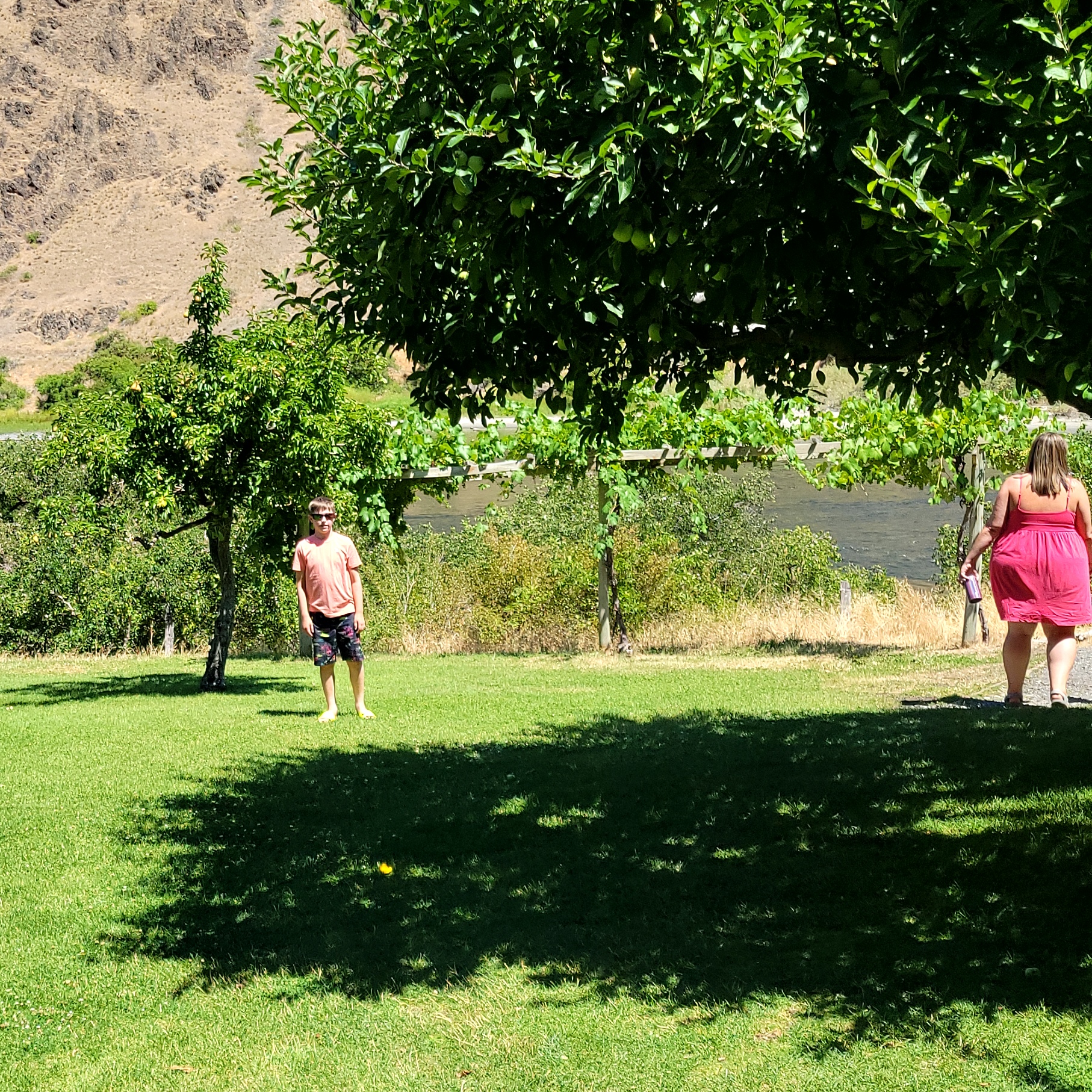
The road to Chico took us through miles and miles of citrus and plum (for prunes) trees. Limes, lemons, and mandarins on mostly level ground as far as the eye could see. There were also quite a bit of other types of farms.

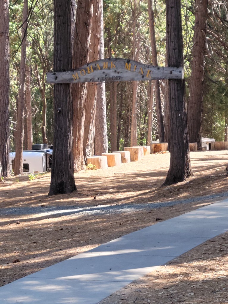
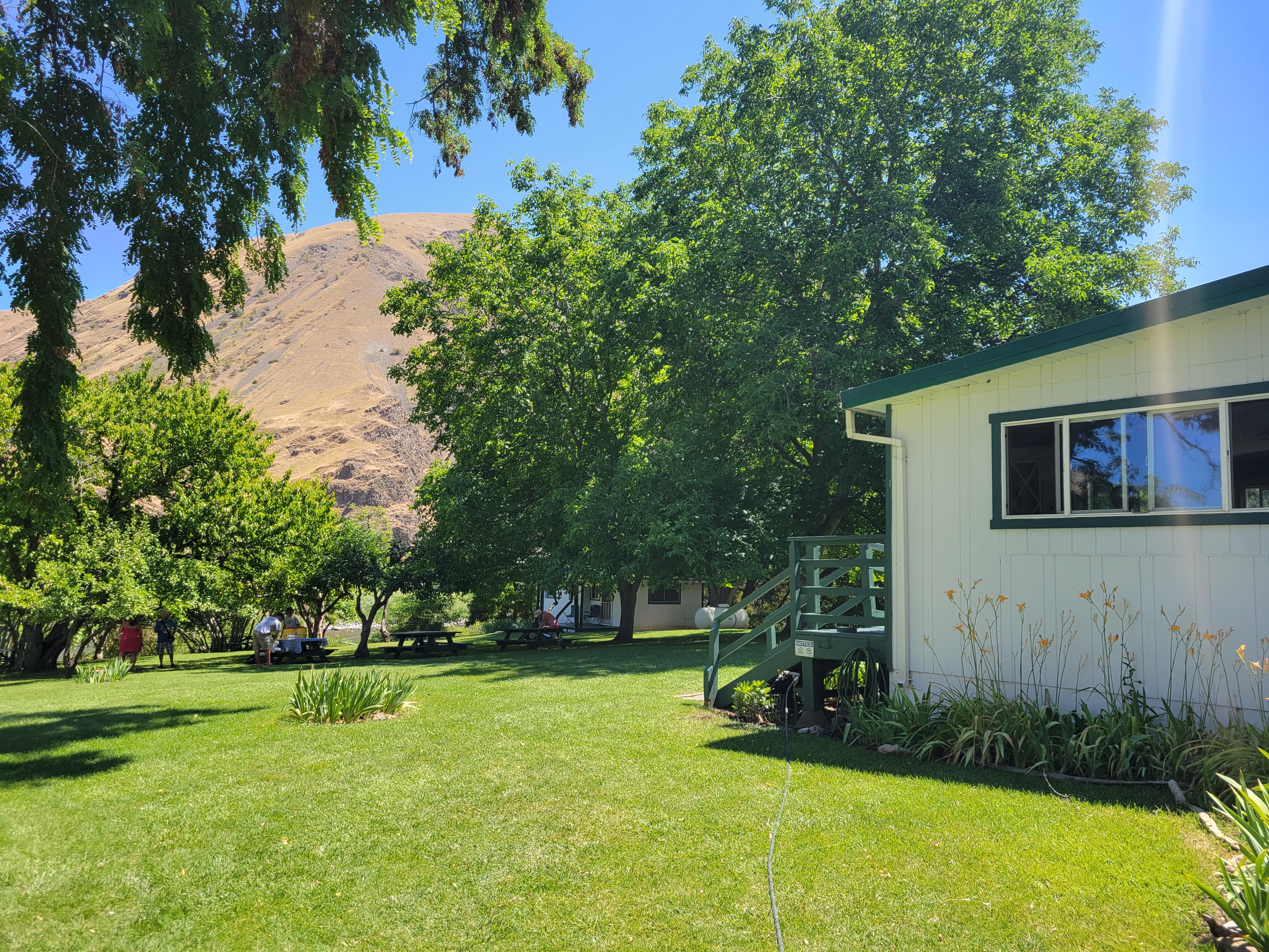
Farms and flatlands turned into mountains, and eventually we arrived at Inn Town Campground (highly recommend) after dark. We had time to pull in and catch a tv show before bed, so we missed how absolutely charming and interesting the town of Nevada City was that night. We were really pleased to find a lot of safety protocols in place at this campground for Covid, which we appreciated. The staff was really helpful and friendly. It was beautifully landscaped underneath the shade of many extremely tall evergreen trees, with immaculate facilities.

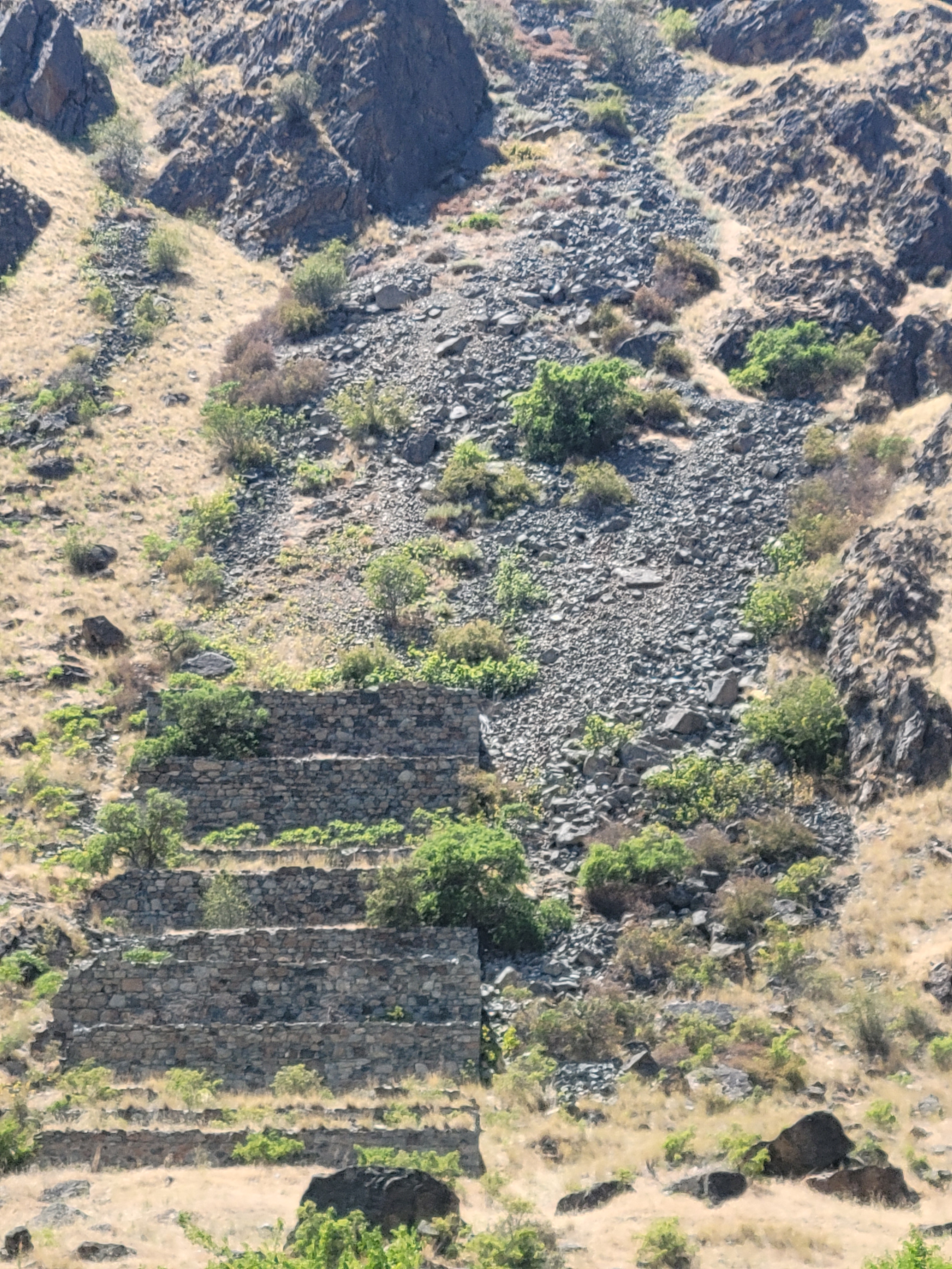
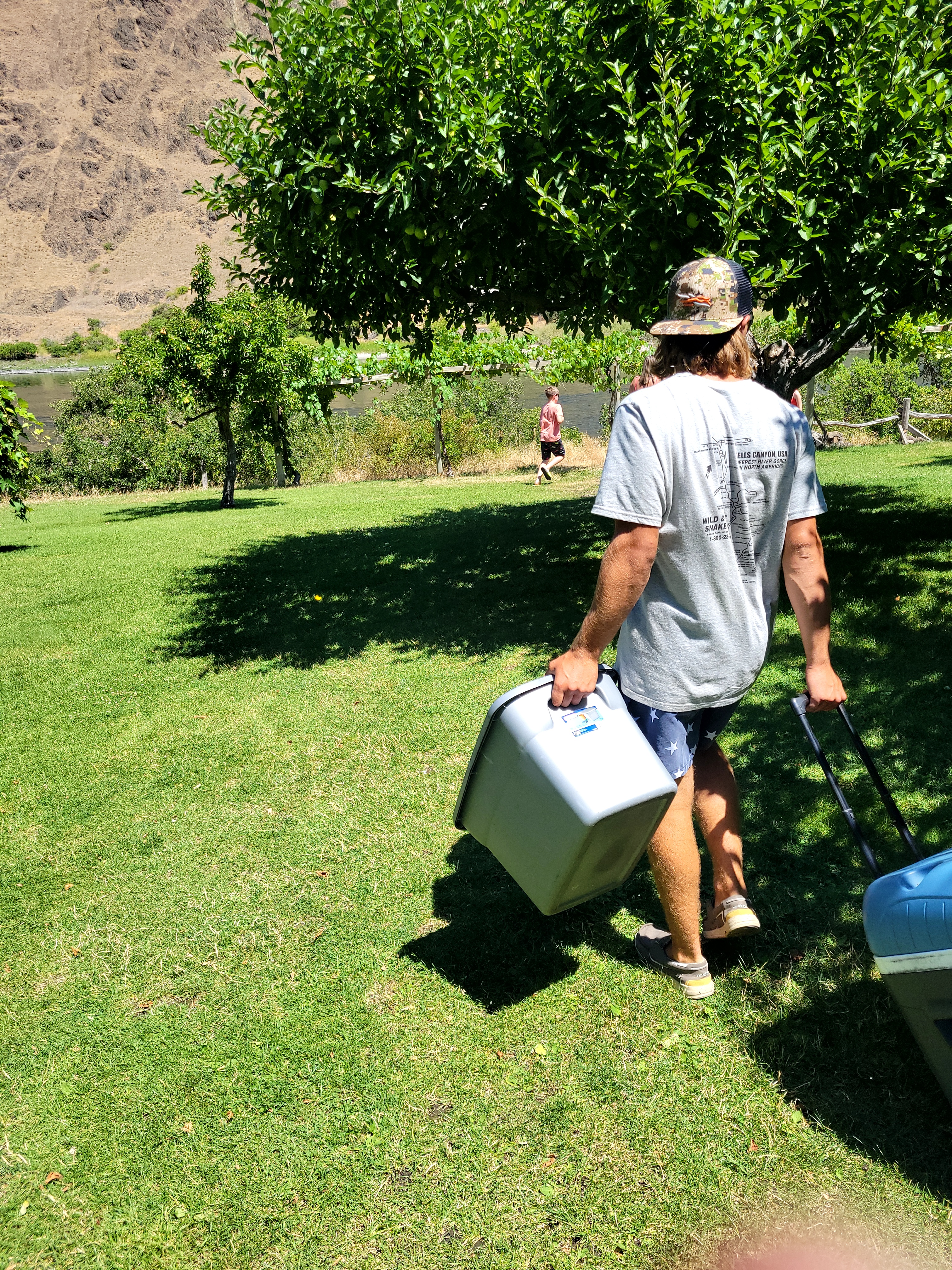
In the morning we trekked out route 49, along craggy cliffs – again pocked with scrubby trees and evidence of forest fires – towards Yuba River State Park. There was a really cool original Western Union building in a historic gold-rush-era “town” just before we descended to the parking lot for the park. Parking was super cheap and after a short hike, we staked out a small bit of rocky ground on the river’s edge. It was VERY crowded. But there was enough space to spread out and not bump into anyone.

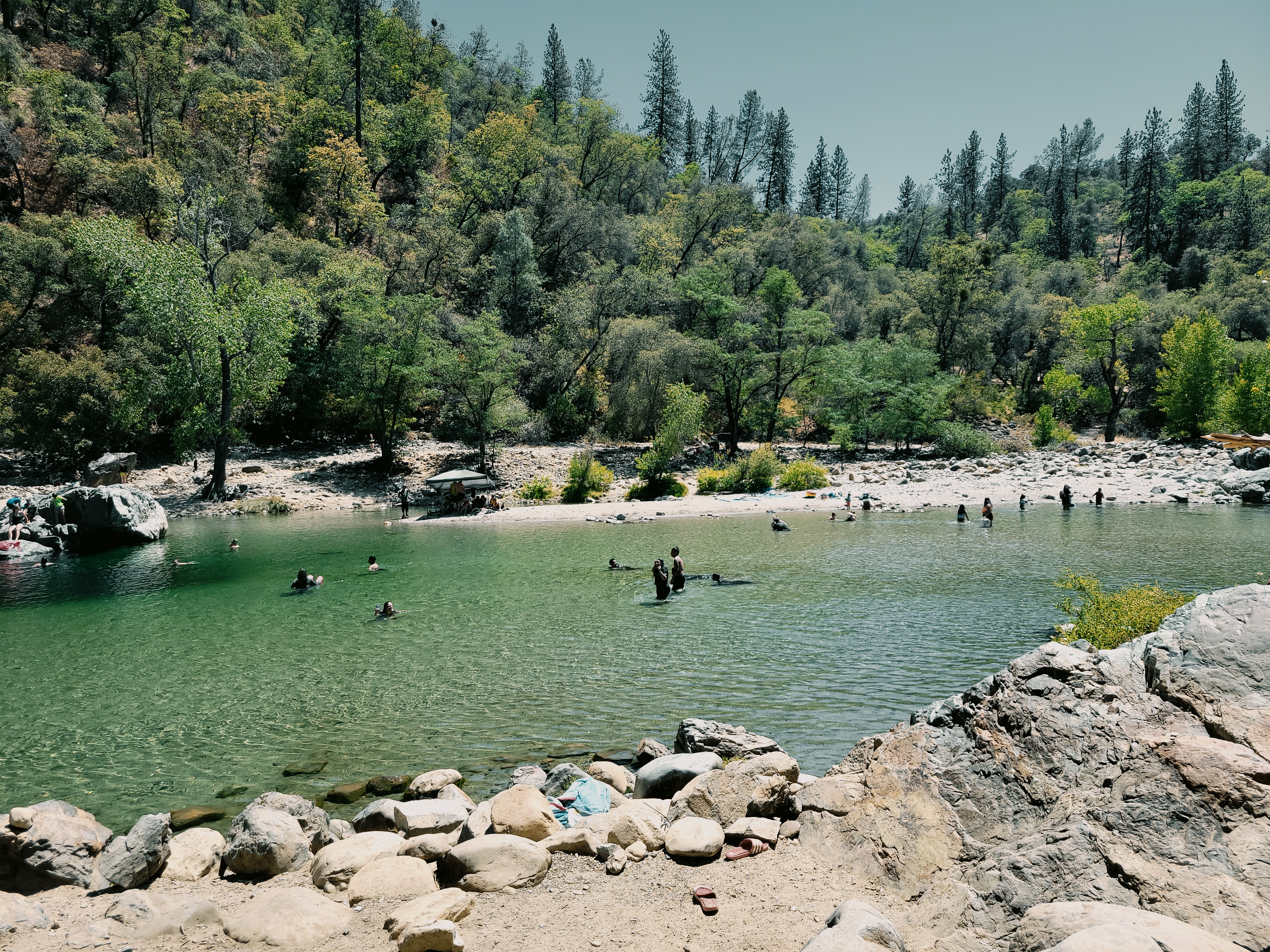
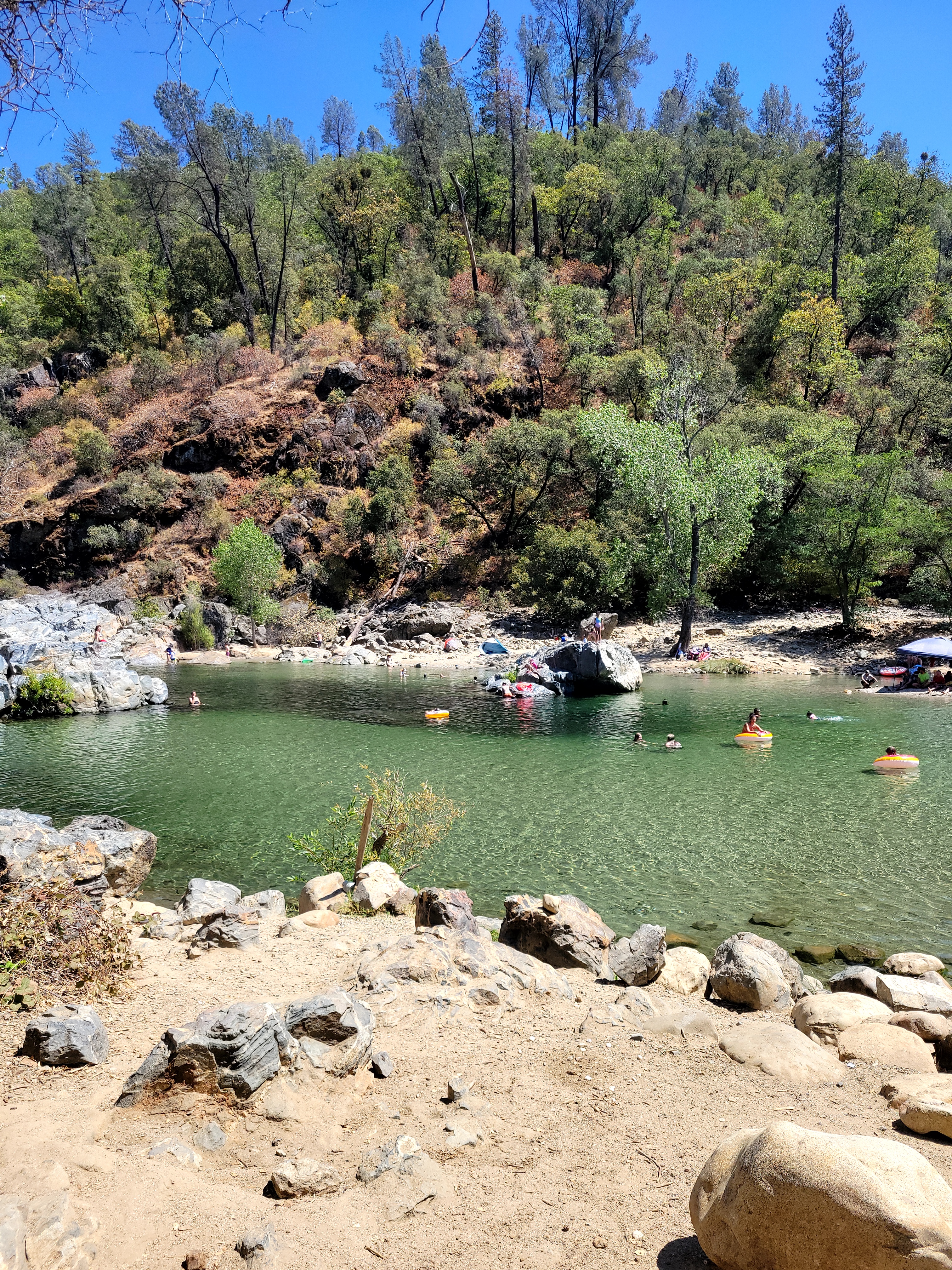


We enjoyed ourselves so much here. The river itself was the perfect temperature, and was almost a teal color. There were tons of rocks that you could jump into the water from and land in deep holes carved by river eddies. We swam upstream and found a low-grade waterfall that you could slide down (because of the slippery, algae-covered rocks). Swimming against the current coming off this waterfall was an unexpectedly fun work-out.
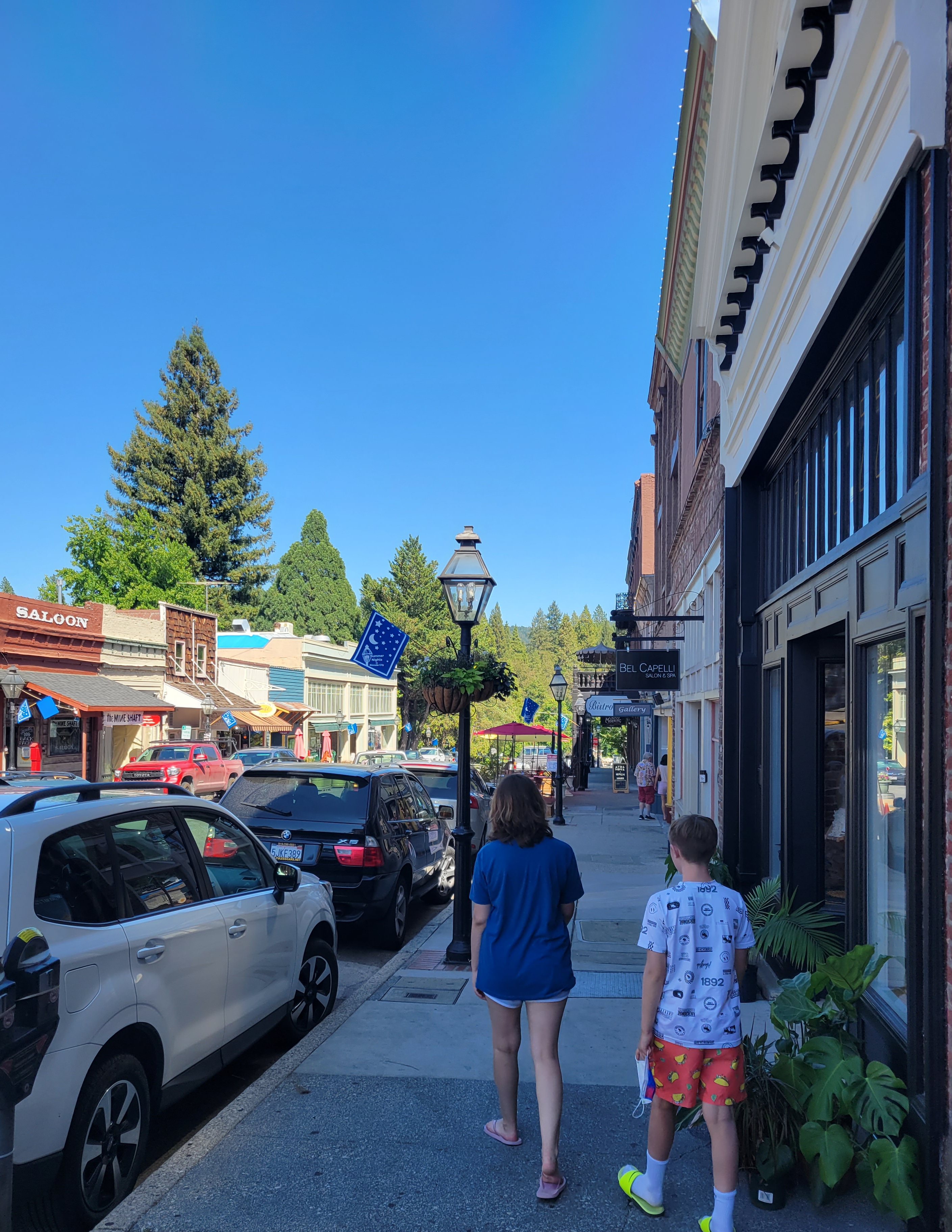
After hours of swimming, we were starving, and wound up eating in down-town Nevada City. Sadly the town was closing up as we were walking the streets, but we hit up a couple of fantastic, artsy, touristy shops before heading back to our home at Inn Town.


You must be logged in to post a comment.